
DWG 5: GEOAI and Geo-Analytics
The demand for the analytical geospatial information products,
image analysis and interpretation for monitoring, situational
awareness, reporting, planning and decision-making processes at
the United Nations is growing. Thus, the provision of accurate
and timely satellite imagery, thematic and analytical products
without applying innovative methods and technology presents
challenge.
The use of Artificial Intelligence (AI) is becoming increasingly
prevalent in the field of Computer Vision, and the UN is
actively seeking ways in which this technology can be leveraged
for its operations. UN Global Pulse, together with the UN’s GIS
teams and other UN partners, have been researching and
developing technical methods of using AI for the processing of
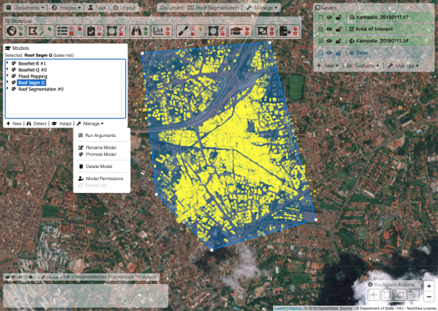
satellite imagery. This work has been used to map refugee camps
and automatically derive locations and numbers of dwellings;
automate the production of flood maps; automate damage and
events detection over large geographic areas of interest.
WG5 Geo-AI News
November 4th 2020:
The First Consultation Call Report is
available for download.
September 11th 2020:
The First WG5 Geo-AI Consultation Call.
Main Functions
The Geo-AI Working Group will research, elaborate and adopt innovations, best practices, and recommendations to:
- Ensure efforts to advance AI technologies in the field of geospatial information will benefit the United Nations Field Operations and the United Nations at large
- Research AI applications and methodologies that can support geospatial analysis, including image interpretation
- Promote interoperability between open source AI and GIS frameworks
- Enhance and develop open source standards and tools for the wider AI and GIS communities
- Include bleeding edge open source AI developments into open source GIS software
- Raise awareness of GIS constraints and requirements for AI projects
- Keep relevant information flowing between Geo-AI and other UN Open GIS working groups
- Promote the ethical use of AI for GIS
- Include security and privacy concerns when implementing AI for GIS
- Liaise with academia, and private sector actors where beneficial
- Develop and implement open source-based AI applications and models for enhancing United Nations’ GIS analytical and imagery intelligence capacity.
The working group 5 (Geo-AI) of the UN Open GIS Initiative, co-chaired by UN Global Pulse, FAO and Politecnico di Milano, aims to integrate AI technology into wider UN Open GIS Initiative’s workflow, and research, development and implementation of artificial Intelligence technologies for the United Nations operations.
GeoAI Blog: